Drone photogrammetry is a rapidly growing field that allows for the creation of high density point clouds with survey grade accuracy. This technology has many benefits and applications in various fields, from construction and agriculture to archaeology and environmental conservation. In this blog post, we will explore the use and benefits of drone photogrammetry, as well as highlight the leadership of Australian Aerial Imagery in the field of drone produced 3D point clouds.
What is drone photogrammetry?
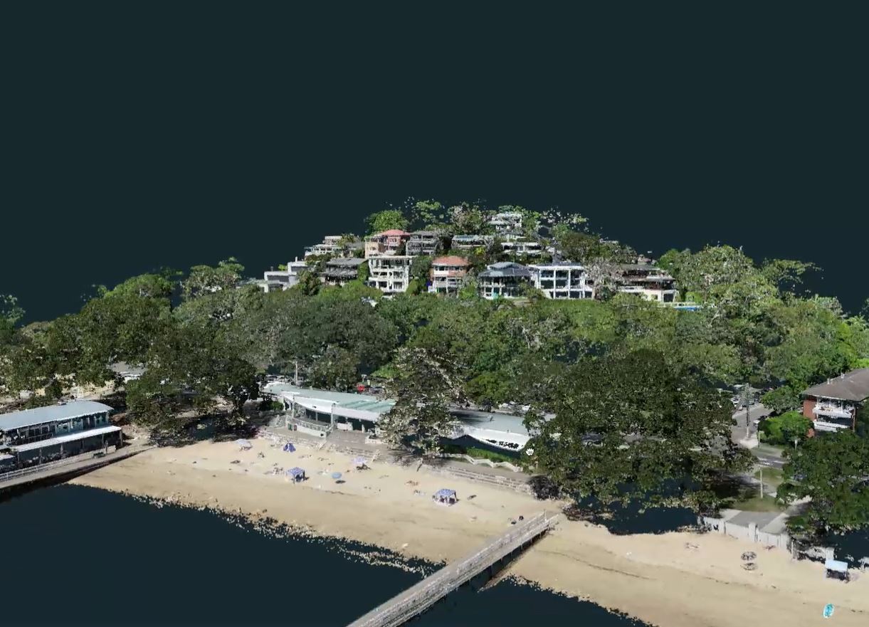
Drone photogrammetry is the process of using drones equipped with cameras to capture a series of overlapping images of a particular area. These images are then processed using specialized software to create a 3D model of the area, known as a point cloud. This point cloud can be used to create highly accurate maps and models of terrain, buildings, and other features of interest.
One of the key advantages of drone photogrammetry is the ability to quickly and easily capture high quality data over large areas. Drones are capable of capturing hundreds or even thousands of images in a single flight, allowing for the creation of detailed point clouds covering many acres or even square kilometers. This makes drone photogrammetry a highly efficient and cost-effective way to collect data for a wide range of applications.
Benefits of drone photogrammetry
Drone photogrammetry has many benefits that make it an attractive option for a wide range of applications. Some of the key benefits include:
High accuracy:
With the use of specialized software, drone photogrammetry can create highly accurate point clouds with survey-grade accuracy. This makes it an ideal tool for applications such as surveying, construction, and engineering.
Speed and efficiency:
Drones can quickly capture data over large areas, making the process much faster and more efficient than traditional methods such as ground surveying or manned aircraft. This can save time and money, while also reducing the risk of injury or accidents.
Safety:
Drones can access hard-to-reach areas that may be dangerous or difficult for humans to access, such as tall buildings or steep slopes. This can improve safety while also allowing for more comprehensive data collection.
Flexibility:
Drone photogrammetry can be used for a wide range of applications, from construction and engineering to archaeology and environmental conservation. This makes it a highly flexible tool that can be adapted to meet the specific needs of a given project.
Real-life applications of drone photogrammetry Drone photogrammetry has many real-life applications across a wide range of industries. Some of the most common applications include:
Construction and engineering:
Drone photogrammetry can be used to create accurate and detailed maps of construction sites, allowing for better planning and coordination of construction activities. It can also be used to monitor construction progress and identify potential issues or delays.
Agriculture:
Drone photogrammetry can be used to create detailed maps of crops and farmland, allowing farmers to identify potential issues and optimize crop yields. This can help to improve the efficiency and sustainability of agriculture. Archaeology: Drone photogrammetry can be used to create 3D models of archaeological sites, allowing archaeologists to better understand the layout and features of the site. This can help to improve our understanding of history and culture.
Environmental conservation:
Drone photogrammetry can be used to monitor and map natural habitats, allowing conservationists to better understand and protect wildlife and ecosystems. It can also be used to monitor the impact of climate change on the environment.
Australian Aerial Imagery: Leaders in drone-produced 3D point clouds
Australian Aerial Imagery is a leading provider of drone-produced 3D point clouds with survey grade accuracy. The company uses state-of-the-art drone technology and specialized software to capture and process high-quality data for a wide range of applications.
For more details please contact Australian Aerial Imagery from the website contacts page that can be found at www.aaisydney.com.au